May 20, 2025 |Dawn Wright | Conservation Drones, New Sensors, and Geospatial AI Fill in Crucial Species Gaps on the Global Map of Life
May 13, 2025 |Sunny Fleming | Conservation National Park Service Streamlines Fossil Data Collection with GIS
April 8, 2025 |David Gadsden | Conservation Tracking Ghosts: How Smart Maps Help Protect Solitary and Nomadic Snow Leopards
April 15, 2025 |Murray Roden | Natural Resources Public Health Scotland Leverages Location to Boost Healthcare
March 25, 2025 Multiple Authors | Public Safety Investigating the Human Toll of Boko Haram with Maps and Satellite Images
March 11, 2025 Multiple Authors | Mapping A Five-Year Retrospective: GIS in the Fight Against COVID-19
February 20, 2025 |Katie Olson | Infrastructure Video: Puget Sound Energy Uses GIS to Achieve Clean Energy and Equity Goals
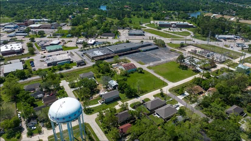
June 3, 2025 |Kathleen Kewley | Infrastructure Welsh Football Club’s New Stadium Invited GIS and BIM to Play
May 15, 2025 |Katie Olson | Infrastructure Video: Southern California Water Utility Modernizes with Geospatial AI
April 23, 2025 |Sunny Fleming | Infrastructure Tennessee Is in a Building Boom and the State’s Permitting Systems Must Keep Pace
April 22, 2025 |Christian Carlson | Infrastructure Geospatial Technology Helps City Planners Protect and Expand Urban Forests
May 20, 2025 |Dawn Wright | Conservation Drones, New Sensors, and Geospatial AI Fill in Crucial Species Gaps on the Global Map of Life
May 13, 2025 |Sunny Fleming | Conservation National Park Service Streamlines Fossil Data Collection with GIS
May 6, 2025 |Geoff Wade | Natural Resources RoyOMartin’s High-Tech Forestry Approach Poised to Meet America’s Housing Crisis
March 6, 2025 |Katie Olson | Natural Resources Video: How Marriott Uses Maps to Transform Global Risk Management
July 16, 2024 Multiple Authors | Natural Resources Federal Crop Insurance Program Gains a Game-Changing Geospatial Awareness
April 9, 2024 |Matt Ball | Natural Resources The Best Wine in the World Receives Care and Correction Guided by Smart Maps
May 29, 2025 |Katie Olson | Public Safety Video: Geospatial Tools Boost Hurricane Preparedness and Track Flood Risk
April 29, 2025 |Mike Cox | Public Safety North Carolina Lake Patrols Gain Precision with Real-Time Maps
February 27, 2025 |Brooks Shannon | Public Safety Q&A: Illinois’s Next Generation 911 Maps Emergencies for Faster Response
February 6, 2025 |Katie Olson | Public Safety Video: AI-Powered GIS Enhances Emergency Response in Miami-Dade County
January 14, 2025 Multiple Authors | Resilience Restoration Project Builds Climate Resilience in the San Francisco Bay
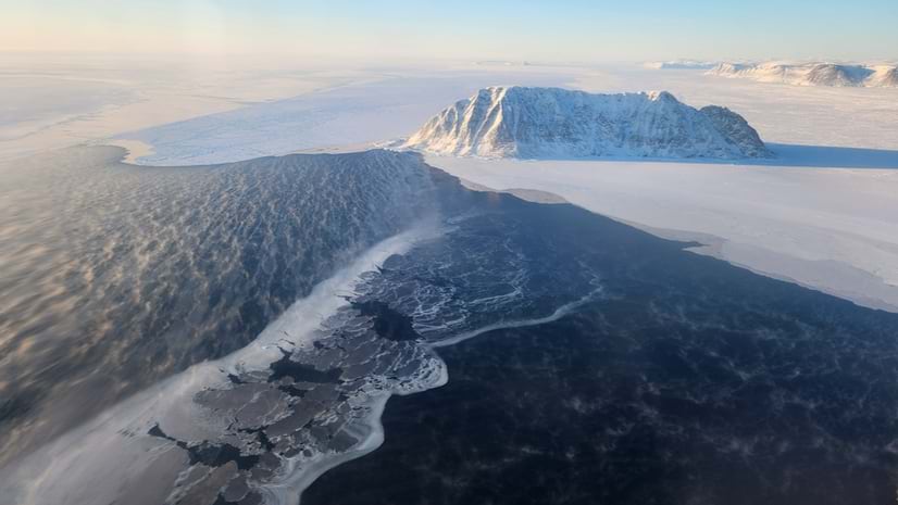
December 10, 2024 |Dawn Wright | Resilience Permafrost: The Vanishing Ground That’s Wreaking Havoc on People and the Planet
November 14, 2024 |Katie Olson | Resilience Video: Global Initiative Unites Law Enforcement to Combat Environmental Crimes
November 5, 2024 |Ryan Lanclos | Public Safety As Waters Rise, Maps Guide Louisiana in Restoring a Crumbling Coastline
March 18, 2025 |Keith Cooke | Infrastructure Maps Reveal Hidden Housing Realities in Massachusetts to Address an Affordability Crisis
March 4, 2025 |Keith Cooke | Infrastructure A Historic Downtown, Favored on Film, Gets a Digital Twin to Promote Revitalization
January 30, 2025 |Keith Cooke | Urban Planning How a Texas Town Is Building the City of the Future by Going Vertical
January 28, 2025 |Brooks Patrick | Urban Planning Digital Twin Technology Drives Nottingham's City Center Renewal